
TRADITIONAL OWNERS CHALLENGE BLACKWOOD RIVER HERITAGE BOUNDARY CHANGE
By Katherine Glass
Traditional Owners have accused the WA Government of removing tributaries from a registered Aboriginal heritage site without proper consultation, but the state says the change was a lawful mapping update and protections remain in place.
Wardandi Pibelmun woman Chontarle Bellottie says changes to the registered boundary of the Blackwood River Aboriginal heritage site have raised serious concerns about who has the authority to define and alter cultural landscapes.
Ms Bellottie is a member-elected director of Karri Karrak Aboriginal Corporation, which represents Wardandi, Pibelmun and Kaneang people across the South West Boojarah region.
She said tributaries and connected waterways were removed from the registered Blackwood River site, known as Goorbilyup, during what the Department of Planning, Lands and Heritage described as administrative remapping.
“The department has removed the tributaries of the Aboriginal heritage site being the Blackwood River,” Ms Bellottie said.
“What it comes down to essentially is that the department did not consult, it did not notify, and it did not do the publication in the Gazette.
“How can government make an adjustment to an Aboriginal heritage site’s boundaries without the consent and involvement of Traditional Owners?”
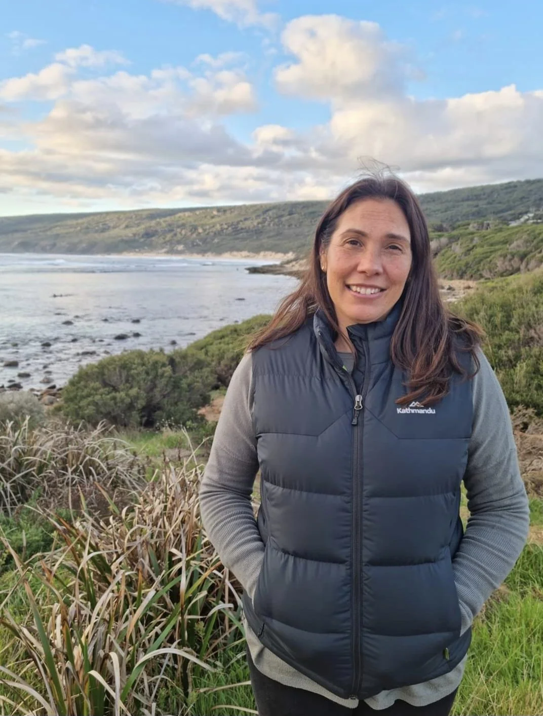
Chontarle Bellottie, Director and CMC Chair, Karri Karrak Aboriginal Corporation
Tributaries removed from mapped site
National Indigenous Times reported the updated boundary excluded waterways including Dry Brook Tributary, Tanjannerup Creek, Lightning Gully and Pinch Gully near Nannup.
Karri Karrak disputes the department’s description of the change as a “boundary clarification”, arguing the tributaries are part of an interconnected cultural landscape and should not be separated from the river.
Ms Bellottie said Goorbilyup and its tributaries were understood as a living cultural being.
“When you lose protection of cultural heritage, it drops out our cultural beings, because essentially it’s living for us,” she said.
“The river itself and its tributaries are a living being.”
She said removing waterways from the mapped site could affect how nearby development proposals were assessed and whether proponents believed heritage surveys or consultation were required.
“There are so many unforeseen consequences of not having that protection of a very significant cultural heritage site,” she said.
A river of cultural and environmental significance
The Blackwood River catchment covers more than 22,000 square kilometres and includes dozens of creeks, brooks and gullies stretching across the South West.
Goorbilyup is the Wadandi name for the lower Blackwood River as it enters Hardy Inlet near Augusta.
WA Government information identifies the waterway as part of an Emu Dreaming trail and says the word Goorbilyarefers to the large intestine or lower part of the stomach.
Ms Bellottie said the name reflected the way the river connected people, water and Country.
“It is living waters,” she said.
“It is significant to us as mob for its cultural values, and it is significant for its natural environmental values.
“It is also part of our early Dreaming. It is significant for all people who live, reside, work and play in that region.”
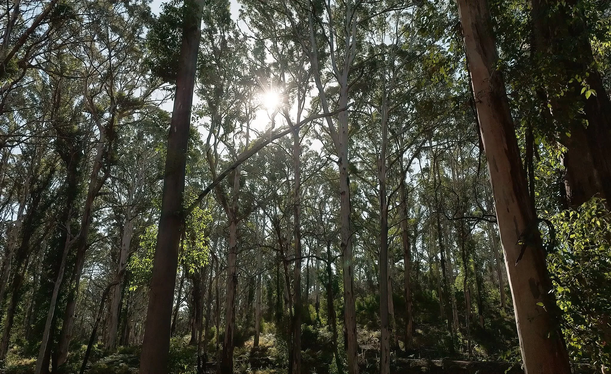
South West Boojarah region bushlands
Department says protection has not changed
The Department of Planning, Lands and Heritage has rejected claims that protection for the Blackwood River was removed.
A department spokesperson told National Indigenous Times the boundary was updated using new government data to more accurately follow the river’s high-water mark.
The department said some tributaries were removed while others were added and maintained the legal protection of the Blackwood River had not changed.
It said Karri Karrak was advised of the amendment in January 2026 and invited to provide further information about the cultural significance of the excluded waterways.
Karri Karrak said it responded in February but was not given the spatial data needed to properly examine the new boundary.
Under the Aboriginal Heritage Act 1972, harming an Aboriginal site without appropriate authorisation can be an offence, regardless of whether the site appears on the public register.
However, registered boundaries are commonly used by landholders, developers and government agencies when deciding whether surveys, consultation or heritage approvals may be required.
Ms Bellottie argues the amendment should have followed the formal process under section 25 of the Act, which relates to varying or revoking declared protected areas.
The department has characterised the change as an administrative update to a registered site boundary, rather than the variation or revocation of a protected-area order.
The competing legal interpretations have not been tested in court.
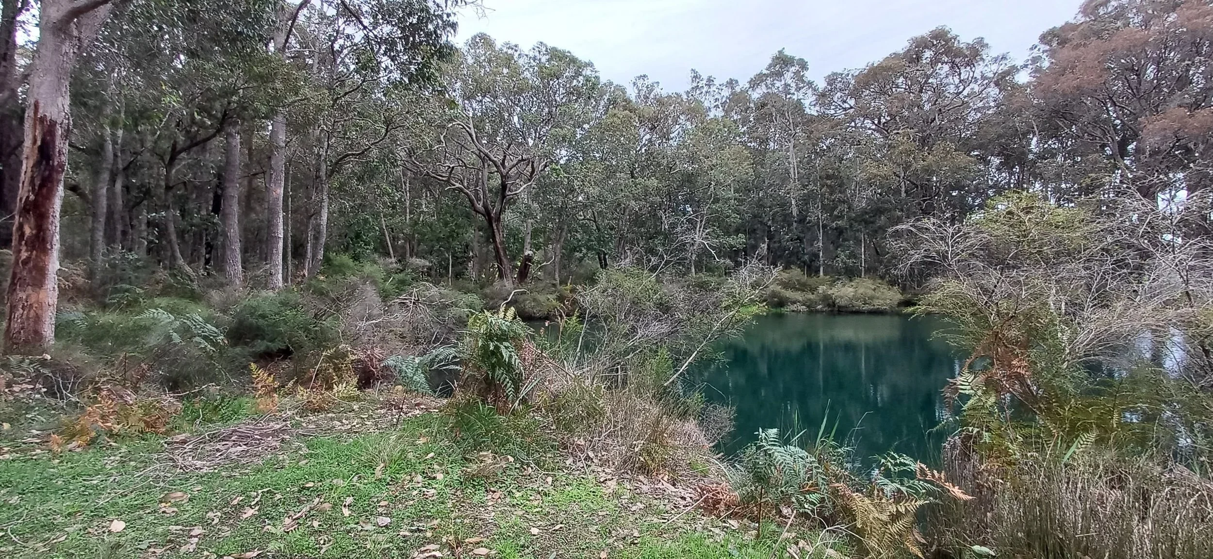
South West Boojarah region, Water Ways and Rivers
Corporation seeks restoration of boundary
Karri Karrak says the remapping has already affected heritage management near Nannup.
The corporation said an archaeological and anthropological survey associated with a proposed development was withdrawn after the proponent was advised it was no longer required following the boundary change.
It has also lodged a Freedom of Information request seeking documents about the spatial data, methodology, consultation and legal advice used to support the amendment.
Ms Bellottie said Karri Karrak wanted the former boundary restored, the requested documents released and further changes halted until Traditional Owners had been properly consulted.
She said the issue was not directly connected to the controversial 2023 repeal of WA’s newer Aboriginal cultural heritage laws, but demonstrated broader weaknesses in the existing system.
“If they’ve done it in our region, where else in Western Australia have they done this?” she said.
“The department needs to be held accountable.”
The dispute is now about more than the placement of a line on a government map. For Traditional Owners, it raises a fundamental question about whether a living river can be protected when the people responsible for its cultural care are not included before its boundaries are changed.
Additional context was sourced from the Department of Planning, Lands and Heritage, the Department of Water and Environmental Regulation, Karri Karrak Aboriginal Corporation, WA legislation and National Indigenous Times.